Aerial Potato Disease Evaluation: EAS Europe

Our Irish and French field teams are actively participating in an Aerial Potato Disease Evaluation (APODE) project together with Delair and GeoInspect. Our objective is to evaluate an agricultural drone solution for potato blight assessment.
As a global leader in plant protection research, we invest in collaborative projects to improve field testing methods and benefit from digital technologies. Drones are already widely used by breeders for phenotyping, as they standardize the data acquisition and provide full field traceability back to the field. We look at transferring this technology to large scale crop protection experiments, such as Eurofins potato blight field platforms spread across Europe to evaluate new fungicide solutions.

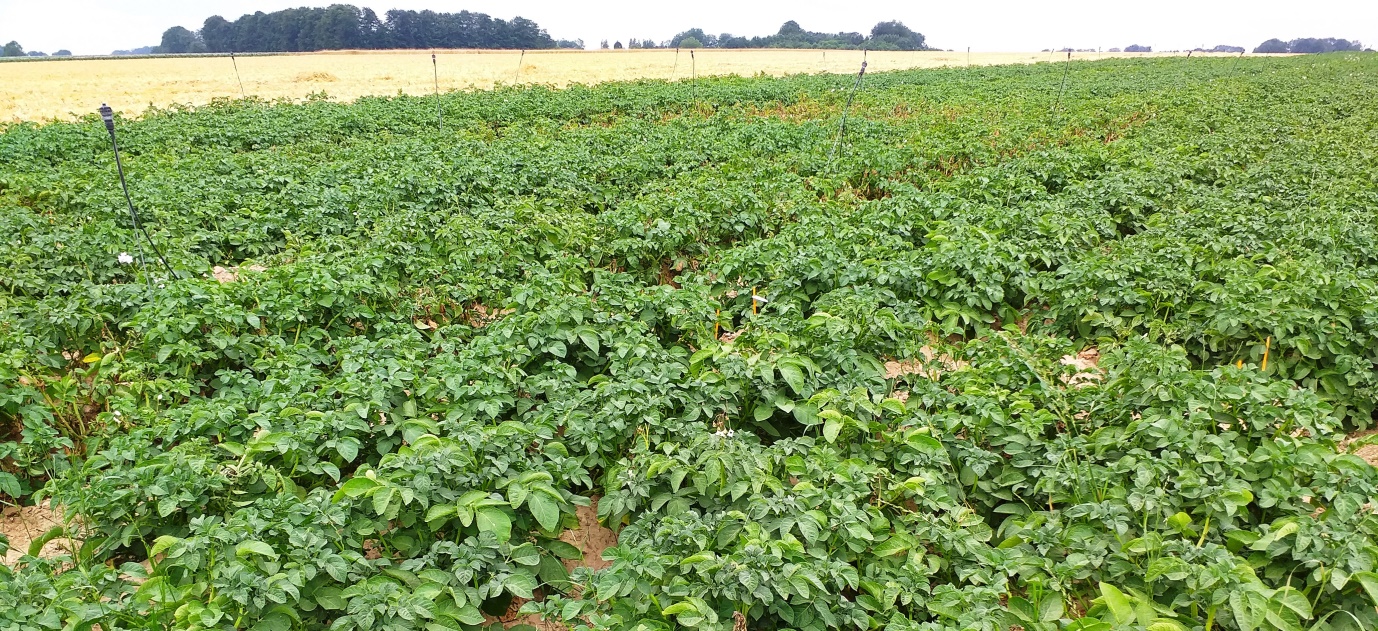
This summer, Eurofins and GeoInspect pilots are flying over 400 potato micro-plots in Ireland and France with the UX11AG drone. We then analyse the imagery with Delair data processing platform. As disease starts spreading across our field sites, we will soon be able to compare aerial imagery data to our potato blight assessment data and establish if the method precision and accuracy are equivalent to our standard.
This project has received funding from the EU Horizon 2020 DIVA project.

Contact Emilie Guillard for more information.


